With a steadfast commitment to serving the most vulnerable communities in Myanmar, CAD has a distinguished track record of over two decades in spearheading impactful initiatives across various sectors, including education, health, livelihoods, and infrastructure development.
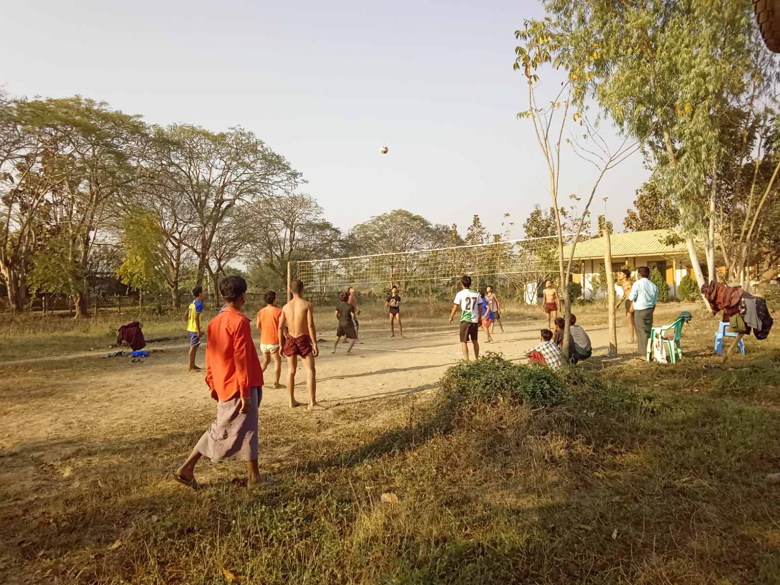
CAD has been implementing Non-formal Education (NFE) of education in emergency (EiE) under the bombing and rockets since 2022 in two townships of Magway region covering 75 villages with 8000 students in collaboration with teachers. CAD’s extensive experience and expertise uniquely position us to contribute effectively to the objectives outlined in the proposal. Our comprehensive understanding of the local context, particularly in Chin State, Sagaing, Magway and Mandalay Regions, ensures that our interventions are culturally sensitive and tailored to address the specific needs of each community. Furthermore, our ongoing support for displaced populations underscores our dedication to reaching those most in need, providing essential services such as food, shelter, water, sanitation, and education.
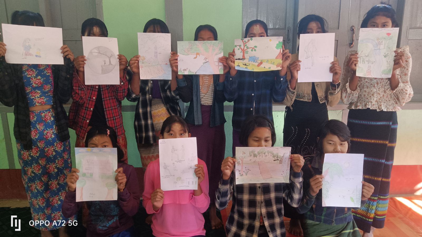
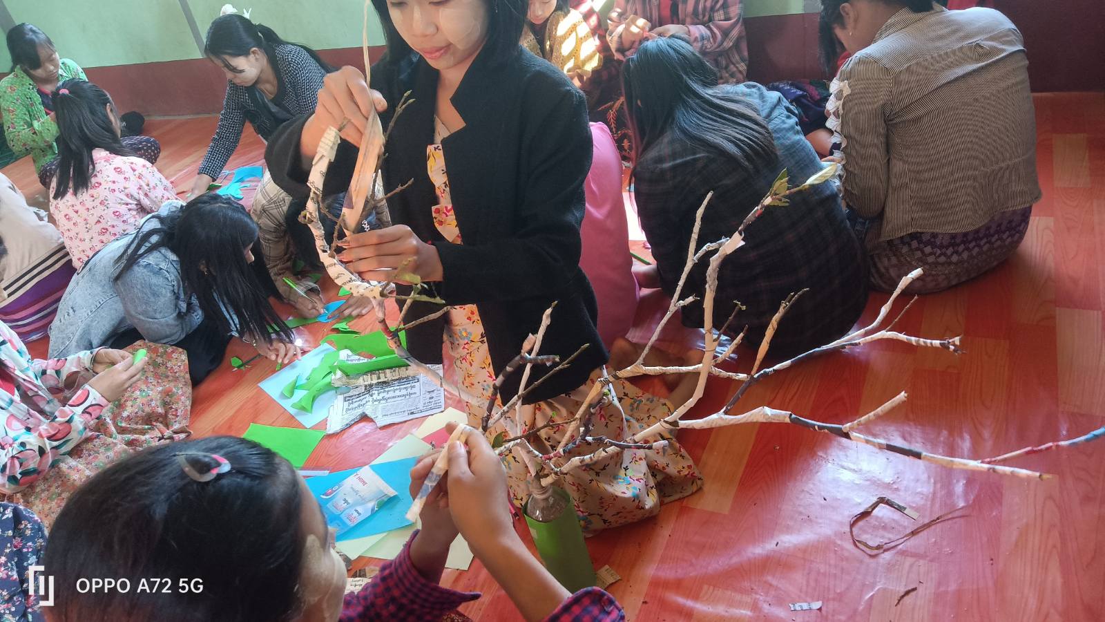
At CAD, we recognize the importance of non-formal and alternative education in ensuring equitable access to learning opportunities for all children, regardless of their circumstances. Our proven track record in implementing programs such as early childcare education, school feeding initiatives, and mobile children’s education demonstrates our commitment to bridging educational gaps and promoting lifelong learning.
Collaboration lies at the heart of our approach, and we have established strong partnerships with local stakeholders, government agencies, and international organizations to maximize resources and leverage expertise. These partnerships have been instrumental in driving sustainable change and amplifying the impact of our interventions.